Topographic Survey/Field Services
Topographic Survey/Field Services
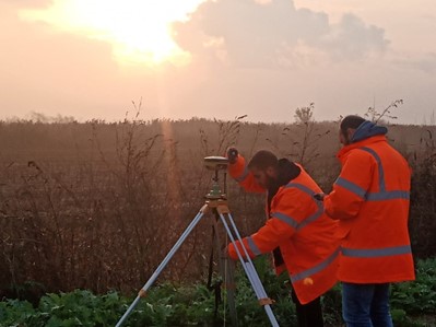
Our company specializes in providing topographical survey and field services using state-of-the-art equipment dual track GPS receivers, high accuracy laser scanners and RTK/PPK UAS and UAV systems compined with specialized software.
By utilizing advanced equipment and technology, our company can produce highly precise and detailed topographical surveys.
Topographical survey involves accurately mapping, of land or property, including its contours, elevations, and natural or man-made features such as buildings, roads, etc.
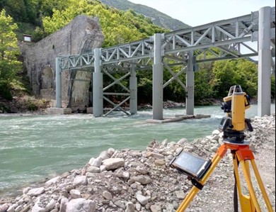
This type of survey is crucial for a wide range of applications, including land development, construction, engineering, and environmental assessment.Before any construction project can begin, it is essential to accurately map and analyze the physical features of the site. This includes understanding the terrain, elevation, and location of existing structures or natural features.With our expertise and cutting-edge equipment, allows us to provide to our clients every construction projects with the accurate data needed to ensure efficient and effective project management.